
US Postage Stamps
// Philatelic Project
// The Federal States


|
|
||||||||||||||||||

|

|

|
|
#4274 // June 14, 2008
(self-adhesive coil definitive) Flags of Our Nation Series
Alabama State Flag
and shrimp boat |
#1953 // April 14, 1982
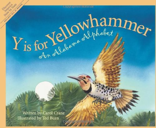
(ex pane of 50 different stamps) State Bird & Flower of Alabama
Yellowhammer
(Colaptes auratus) and Camellia |
#1654 // February 23, 1976
(ex pane of 50 different stamps) American Bicentennial Series Alabama State Flag |

|
#1375 // August 2, 1969 // Huntsville, AL
150th Anniversary of Alabama Statehood Camellia and Yellow-shafted Flicker |
|
#3561 // April 4, 2002
(ex pane of 50 stamps, one for each state) Greetings from Alabama Illustration of contemporary postcard in the style of the 1930s/1940s View Alabama state quarter View Alabama state map View Alabama clock |

|

|
|
The state of Alabama and the Alabama River are named
after the local Indian tribe "Alibamu". |
||

|
Land Area
rounded mi2 [km2] 50,744 [131.426] ranked 28th |
Population
(census 2010) 4,779,736 ranked 23rd |
Population Density
per mi2 [km2] of land area 94 [36] ranked 28th |
| The State of Alabama has 67 counties. | |||
| // Elmar R. Göller // All rights reserved // Contact // Publishing Information |
| modified |