
US Postage Stamps
// Philatelic Project
// The Federal States


|
|
||||||||||
|
|
|
|
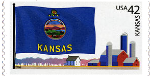
#4292 // September 2, 2008
(self-adhesive coil definitive) Flags of Our Nation Series
Kansas State Flag
farm buildings and silos |
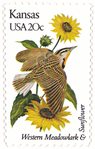
#1968 // April 14, 1982
(ex pane of 50 different stamps) State Bird & Flower of Kansas
Western Meadowlark
(Sturnella neglecta) and Sunflower |
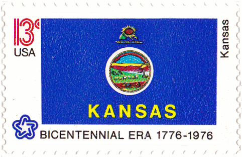
#1666 // February 23, 1976
(ex pane of 50 different stamps) American Bicentennial Series Kansas State Flag |
|
Kansas Overprint Stamps
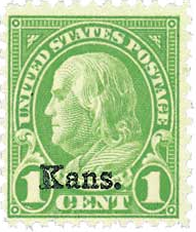
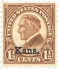
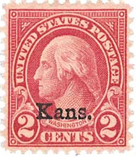
#658 - 668 issued in 1929 and only sold for one year (overprint on regular issues #632 - 642, rotary press printing in 1926/27) |
||
| This special issue was authorized as a measure of preventing losses from post office burglaries. Approximately a year's supply was printed and issued to postmasters. The Post Office Department found it desirable to discontinue the State overprinted stamps after the initial supply was used. | ||
| [Please refer also to the State of Nebraska] | ||
|
|
|
|
#658 // May 1, 1929 //
Newton, KS (overprint on original stamp #632 // June 10, 1927) |
#659 // April 16, 1929 //
Colby, KS (overprint on original stamp #633 // May 17, 1927) |
#660 // May 1, 1929 //
Colby, KS; Dodge City, KS; Liberal, KS (overprint on original stamp #634 // December 10, 1926) |
|
Please click
here
to view all eleven overprinted stamps
and learn more about the reason for the overprint. |
||
|
Scott catalogue value for stamp set Nos. 658-668 (11)
US$ 480 (mint, never hinged), US$ 255 (mint, hinged), US$ 180 (used) |
||
|
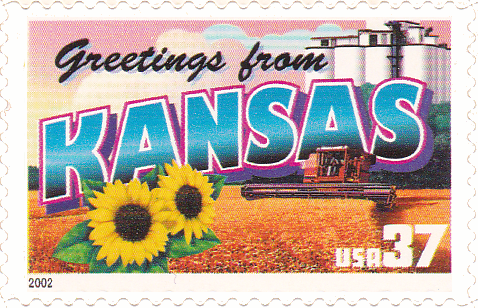
#3576 // April 4, 2002
(ex pane of 50 stamps, one for each state) Greetings from Kansas Illustration of contemporary postcard in the style of the 1930s/1940s View Kansas state quarter View Kansas state map View Kansas clock |
| // Elmar R. Göller // All rights reserved // Contact // Publishing Information |
| modified |