 US Postage Stamps
// Philatelic Project
// The Federal States
Territorial Evolution of the United States
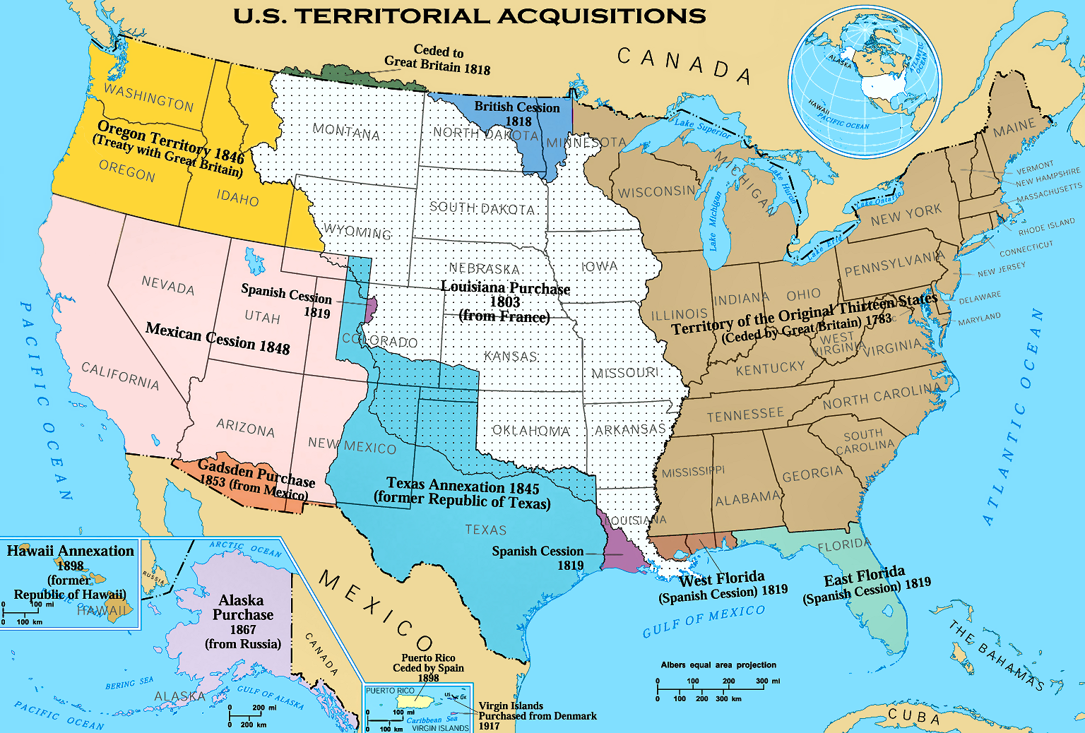
US Territorial Acquisitions
|
|
Please click
here
for printable map.
|
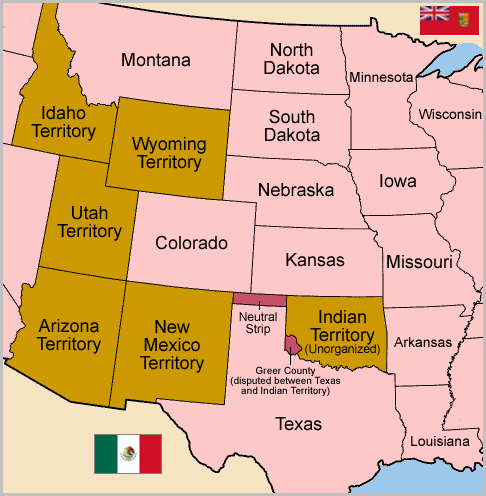
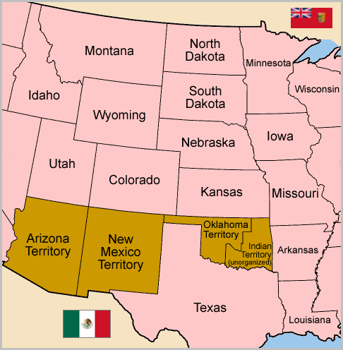
Development of the Indian/Oklahoma Territory #1
On May 2, 1890 the Oklahoma Territory was organized from the western portion of Indian Territory
and included the Neutral Strip, corresponding to the "panhandle" of present-day Oklahoma.
|
|
|
 US States US States

 US Territories US Territories
 Disputed areas Disputed areas
|
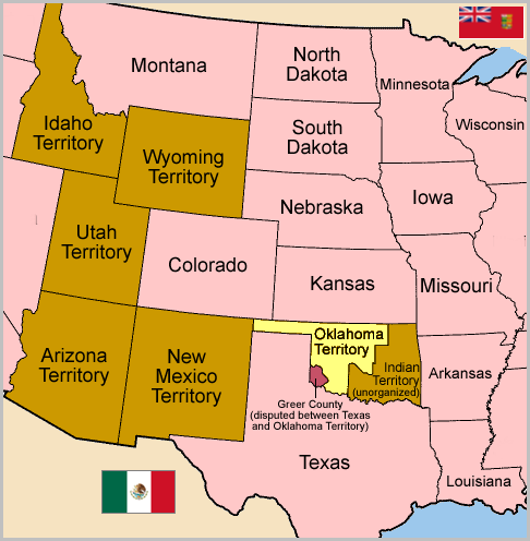
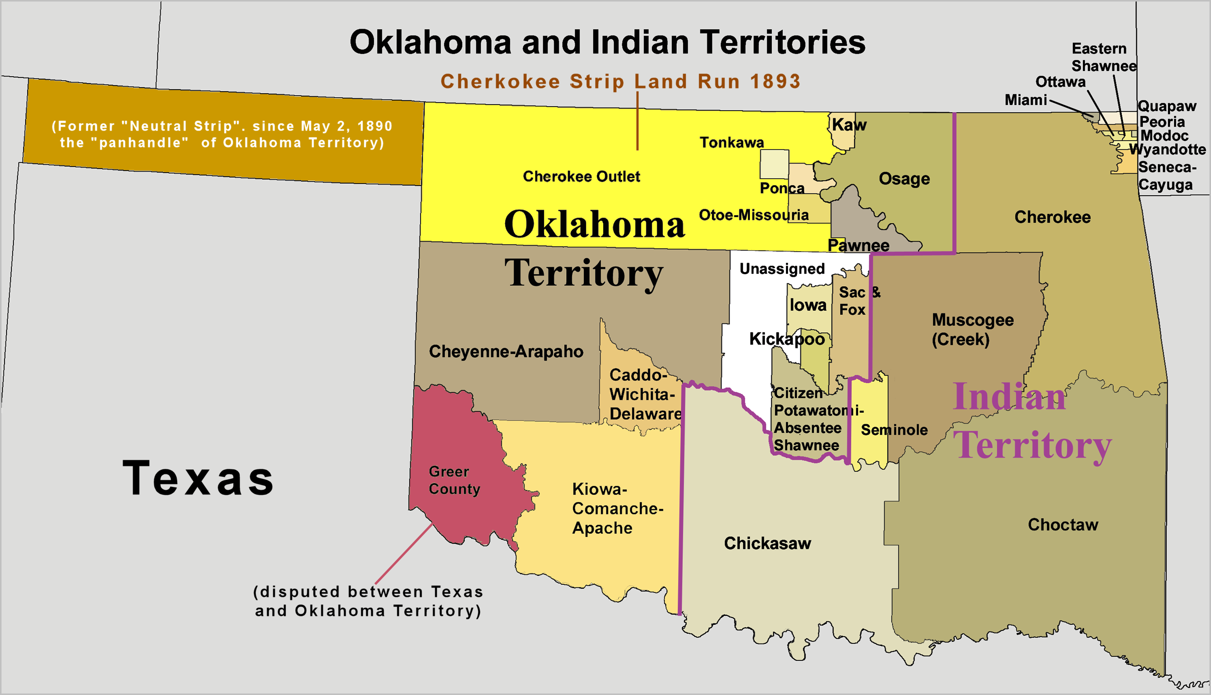
Development of the Indian/Oklahoma Territory #2
|
Cherokee Strip Land Run on September 16, 1893.
|
|
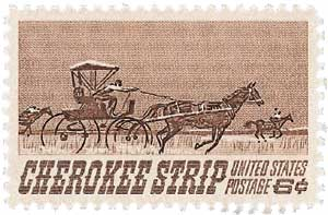
#1360 // October 15, 1968 // Ponca, OK
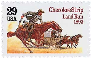
#2754 // April 17, 1993 // Enid, OK
75th/100th Anniversary of the
opening of the Cherokee Strip
to settlers on September 16, 1893
|
Development of the Indian/Oklahoma Territory #3
|
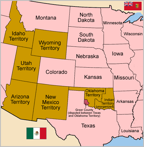
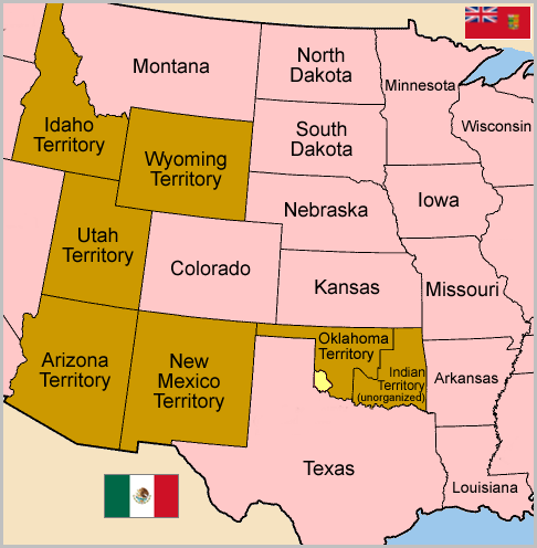
On May 4, 1896 a Supreme Court ruling officially assigns Greer County to Oklahoma Territory.
|
|
|
 US States US States

 US Territories US Territories
 Disputed areas Disputed areas
|
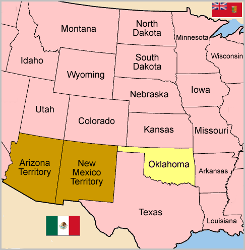
Development of the Indian/Oklahoma Territory #4
|
On November 16, 1907 the Oklahoma Territory and the Indian Territory were combined and admitted as the 46th state, Oklahoma. The demand of the representatives of the five civilized Indian tribes (Cherokee, Chikasaw, Choctaw, Muscogee/Creek and Seminole), who lived in the Indian Territory, to form an own state was refused by US President Theodore Roosevelt (* 1858, † 1919, in office 1901 - 1908) under pressure of eastcoast politicians.
|
|
|

 US States US States
 US Territories US Territories
|
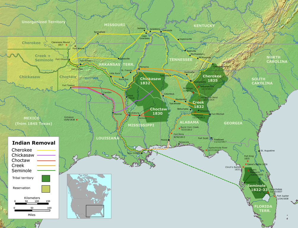
Formation of Indian Territory
|
Map of forced displacment of Native American tribes by the US Government.
|
|
usaphil™
 US Postage Stamps
// Philatelic Project
// The Federal States
 US Postage Stamps
// Philatelic Project
// The Federal States


