
US Postage Stamps
// Philatelic Project
// The Federal States


|
|
||||||||||||||||||||||||

|

|

|
|
#4297 // August 6, 2009
(self-adhesive coil definitive) Flags of Our Nation Series
Massachusetts State Flag
sailboats and seagulls |
#1973 // April 14, 1982
(ex pane of 50 different stamps) State Bird & Flower of Massachusetts
Black-Capped Chickadee
(Parus atricapillus) and Mayflower |
#1638 // February 23, 1976
(ex pane of 50 different stamps) American Bicentennial Series Massachusetts State Flag |

|

|

|
| The "Mayflower" | Landing of the Pilgrims | Signing of the Compact |
|
#548-550 // December 21, 1920 // Pymouth, MA
Landing of the Pilgrims at Plymouth, MA, on December 21, 1620 Tercentenary |
||
|
Scott catalogue value of stamp set Nos. 548-550 (3)
US$ 90 (mint, never hinged), US$ 25 (used) |
||

|

|
|
#682 // April 8, 1930 // Salem, MA
Founding of the Massachusetts Bay Colony Tercentenary Seal of the Massachusetts Bay Colony |
#2341 // February 6, 1988 // Boston, MA
Massachusetts Statehood Ratification of the Constitution on February 6, 1788 Bicentennial Old State House (built in 1713), 206 Washington St, Boston, MA 02109 |
|
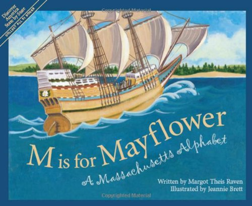
#1420 // November 21, 1970 // Plymouth, MA
350th Anniversary of the Landing of the "Mayflower" The ship "Mayflower" and Pilgrims
The Pilgrims founded the
Plymouth Colony
on December 21, 1620. On May 14, 1692 the colony became part of the Province of Massachusetts Bay, the origin of present-day Commonwealth of Massachusetts.
|

|

|
#3581 // April 4, 2002
(ex pane of 50 stamps, one for each state) Greetings from Massachusetts Illustration of contemporary postcard in the style of the 1930s/1940s View Massachusetts state quarter View Massachusetts state map View Massachusetts clock |
|
|
The state name comes from the language of the Algonquian Indians of the
Massachusetts Bay area, roughly translated as "at or about the great hill". |
||

|
Land Area
rounded mi2 [km2] 7,840 [20.306] ranked 45th |
Population
(census 2010) 6,547,629 ranked 14th |
Population Density
per mi2 [km2] of land area 835 [323] ranked 4th |
| The State of Massachusetts has 14 counties. | |||

|
|
#UX148 // June 16, 1990 // Medford, MA
Stamped Postal Card Historic Preservation Series Isaac Royall House National Historic Landmark Isaac Royall House and slave quarters at 15 George St, Medford, MA, former "Ten Hills Farm", built (1732/1737) in Georgian architectural style, during 1732/1775 the home of the colonial American slavers Isaac Royall (* 1672, † 1739) and his son (* 1719, † 1781) |
| // Elmar R. Göller // All rights reserved // Contact // Publishing Information |
| modified |
